Historical Mapping Project
|
History of the Historical Mapping Project
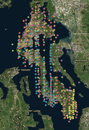
The Whidbey Island Conservation District (WICD) inherited several sets of historic aerial photographs from the USDA Natural Resources Conservation Service (NRCS) when NRCS closed its Whidbey Island office in the 1990s. The aerial photos are images of Whidbey Island and Island County from the 1940s, 1963, and 1990. There are a few incidental aerial photos from other years. WICD recognized the important historic value of these aerial photos. In the spring of 2015, the Washington State Conservation Commission (WSCC) awarded funding to WICD to electronically archive the images. The aerial photos were first scanned to the WICD server and then posted online for public access using our interactive map platform. The original photos were donated to the Island County Historical Society to be archived at the Island County Museum in Coupeville. Access the map and aerial photos here. Google Earth Pro for desktop has access to satellite images from 1990 - current for most areas of Whidbey Island, if you'd like to view more recent aerial / satellite imagery than our Historical Mapping Project offers. You might also consider checking out the Google Earth Timelapse project, which provides a timelapse of land use changes between the mid-1980s to 2018. |